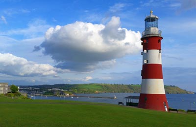
Plymouth Freight Ferry Port
Book Plymouth services to the ports of Rosoff or Santander with Brittany Ferries
Special Offers
The freight port of Plymouth is the historical second home of the Royal Navy, and is located at the mouth of the River Tamar in the South West of England. Its commercial part, Millbay Docks, is owned and operated by Associated British Ports. Located on the south coast of England, Plymouth gives you easy access to both France and Spain. These arrival ports all offer easy access to the major road networks in France and Spain.
Plymouth Ferry Port facilities
There are reservered areas for freight drivers with high quality food.
Getting to Plymouth Ferry Port by road
Take the M5 to Exeter, then onto the A38 - which goes all the way to Plymouth. Once in Plymouth, take the A374 and keep following signs for the city centre. As you near the centre, signs for the ferry port are prominent everywhere.
Useful Information
Plymouth Map
View map
Port Addresses
Brittany Ferries
Millbay, Plymouth, Devon, PL1 3EW, United Kingdom


